File:Plate Tectonics Map.gif
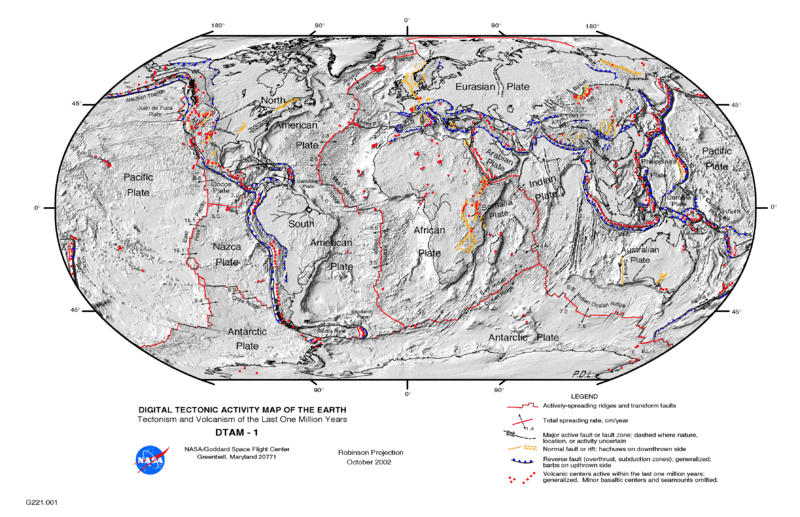
Revision as of 07:10, 16 March 2017 by Patrick talk | contributions Tectonic activity map of the Earth

Size of this preview: 800 × 517 pixels. Other resolutions: 320 × 207 pixels | 3,577 × 2,313 pixels.
Original file 3,577 × 2,313 pixels, file size: 2.68 MB, MIME type: image/gif
Summary
Tectonic activity map of the Earth
Licensing
This file is in the public domain in the United States because it was solely created by NASA. NASA copyright policy states that "NASA material is not protected by copyright unless noted". See NASA copyright policy page for more information.
File history
Click on a date/time to view the file as it appeared at that time.
| Date/Time | Thumbnail | Dimensions | User | Comment | |
|---|---|---|---|---|---|
| current | 07:10, 16 March 2017 |  | 3,577 × 2,313 2.68 MB | Patrick talk | contributions | Tectonic activity map of the Earth |
- You cannot overwrite this file.
File usage
The following page links to this file:
